About The JUMP Pilot Project
OpenJUMP is a community driven fork of JUMP the "Java Unified Mapping Platform" GIS software. The original JUMP was developed by Vivid Solutions, released under GPL2 in 2003 and discontinued in 2006. During 2004 already...
OpenJUMP is a community driven fork of JUMP the "Java Unified Mapping Platform" GIS software. The original JUMP was developed by Vivid Solutions, released under GPL2 in 2003 and discontinued in 2006.
During 2004 already some enthusiastic developers joined together to enhance further the features of JUMP. They launched an independent development branch called OpenJUMP. The name gives credit to the original JUMP development, and at the same time describes the objectives of this project to be fully open to anyone wanting to contribute.
These days OpenJUMP is developed and maintained by (some few) volunteers around the globe. If you need functionality or even better want to contribute you are very welcome to contact us at our mailing list.
Features
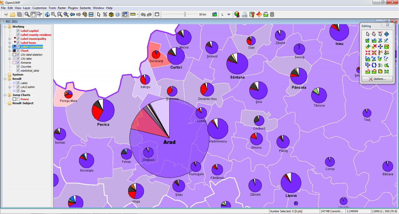
- Vector GIS (that can read rasters as well)
- provides open API & PlugIn system, scripting via BeanShell and Java Python
- edit, save, analyse, conflate and display your GIS data
- strives to handle empty geometries well
- elaborate shortcuts, undo/redo
- Vector formats:
- read DXF*, JML, GeoJSON, GML, SHP
- write DXF*, JML, GeoJSON, GML, SHP, SVG*
- Raster format read support:
- georeferencing per world file or GeoTIFF
- BMP, DCX, FPX, GIF, JB2, JBIG2, JPEG, PAM, PBM, PCX
- PGM, PNG, PNM, PPM, PSD, TGA, TIFF, WBMP, XBM, XPM
- ECW & JPEG2000 (with 32bit Java on Windows, Linux, MacOSX)* incl. in Plus
- MrSID (with oracle jre on Windows, Linux)*
- Raster format write support:
- JPG, PNG
- Database access:
- read PostGIS, ArcSDE*, Oracle*, MySQL*, SpatialLite
- write PostGIS*
- Archives and compressed files:
- read known data formates from zip, tar, tar.gz, tar.bz2 archives or gz, bz2 compressed files
- supports OGC standards WMS & WFS (-T), GML 2, SLD, SFS
- Topology tools: line noder, polygonizer, planar graph,...
- Raster analysis via SEXTANTE connector
- Attribute transfer tools (1:1 transfer, or n:1 transfer)
- calculating length, area, centroid, buffer, convex hull,...
- spatial and attribute query functions
- rotating, scaling, auto-complete polygon, cut, merge, simplify polygons and lines
- warping, quality assurance tools*
- map generalization functions*
- sophisticated print out capability*
- * functionality provided via additional plugin or native libraries, binaries. search the wiki for additional explanations.
Previous Versions
Here you can find the changelog of The JUMP Pilot Project since it was posted on our website on 2015-04-27 03:00:00.
The latest version is 2.1 and it was updated on 2024-04-22 10:05:31. See below the changes in each version.
The JUMP Pilot Project version 2.1
Updated At: 2022-08-01
The JUMP Pilot Project version 1.4.0.3
Updated At: 2011-03-15
Changes: Several fixes and updates
Disclaimer
External Download
We do not host The JUMP Pilot Project on our servers. We did not scan it for viruses, adware, spyware or other type of malware. This app is hosted by the software publisher and passed their terms and conditions to be listed there. We recommend caution when installing it.
The external download link for The JUMP Pilot Project is provided to you by apps112.com without any warranties, representations or guarantees of any kind, so access it at your own risk.
If you have questions regarding this particular app contact the publisher directly. For questions about the functionalities of apps112.com contact us.